The planned holiday this year was for K and I to take Blue Opal to Ireland’s south coast. Initial passage planning had us going Dun Laoghaire, Greystones, Arklow, Kilmore Quay, and day-hopping west along the coast. After asking around about cruising the coast, the plan changed to Greystones, Arklow, Kilmore Quay, and then push for Glandore, day-hopping back up the coast with the prevailing winds.
The plan then became “forget Greystones”, and on Tuesday 10th August, after lunch, we set “sail” for Arklow from Dun Laoghaire. Unfortunately, the wind never swung into the SW like was forecast, it was generally on the nose all the way to Arklow (which meant it actually swung SE as we approached Arklow).
Most of the time we were within a mile of the shore, and could have been closer, but I preferred the deeper (~20 – 30m) water that was available between the banks, as I didn’t know the waters. K was fine right up to Greystones, and then started to feel worse and worse as the sea state changed from gently bumpy to showing the influence of wind against tide. We were later out of Dun Laoghaire than we wanted to be, but that’s life – we saw no point delaying the trip by a day just because we left on the height of the tide instead of an hour or two before the full tide.

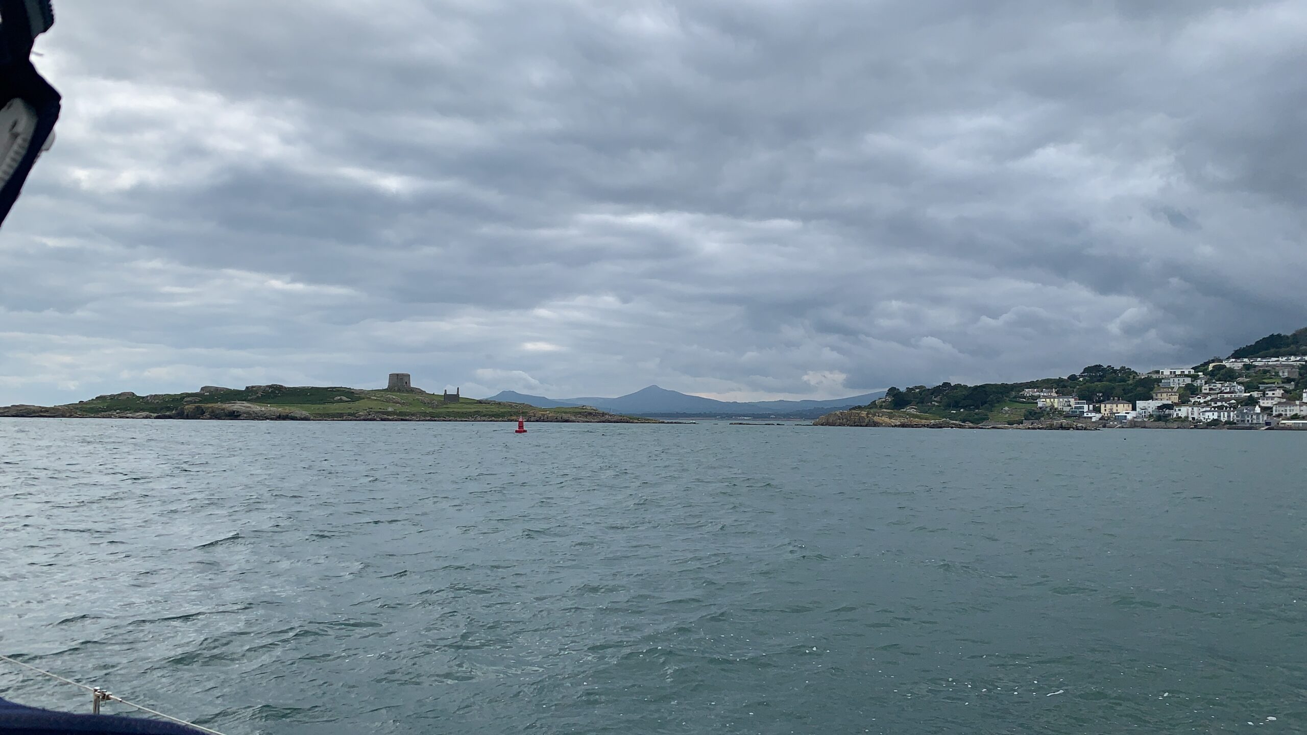
Passing Dalkey Island 
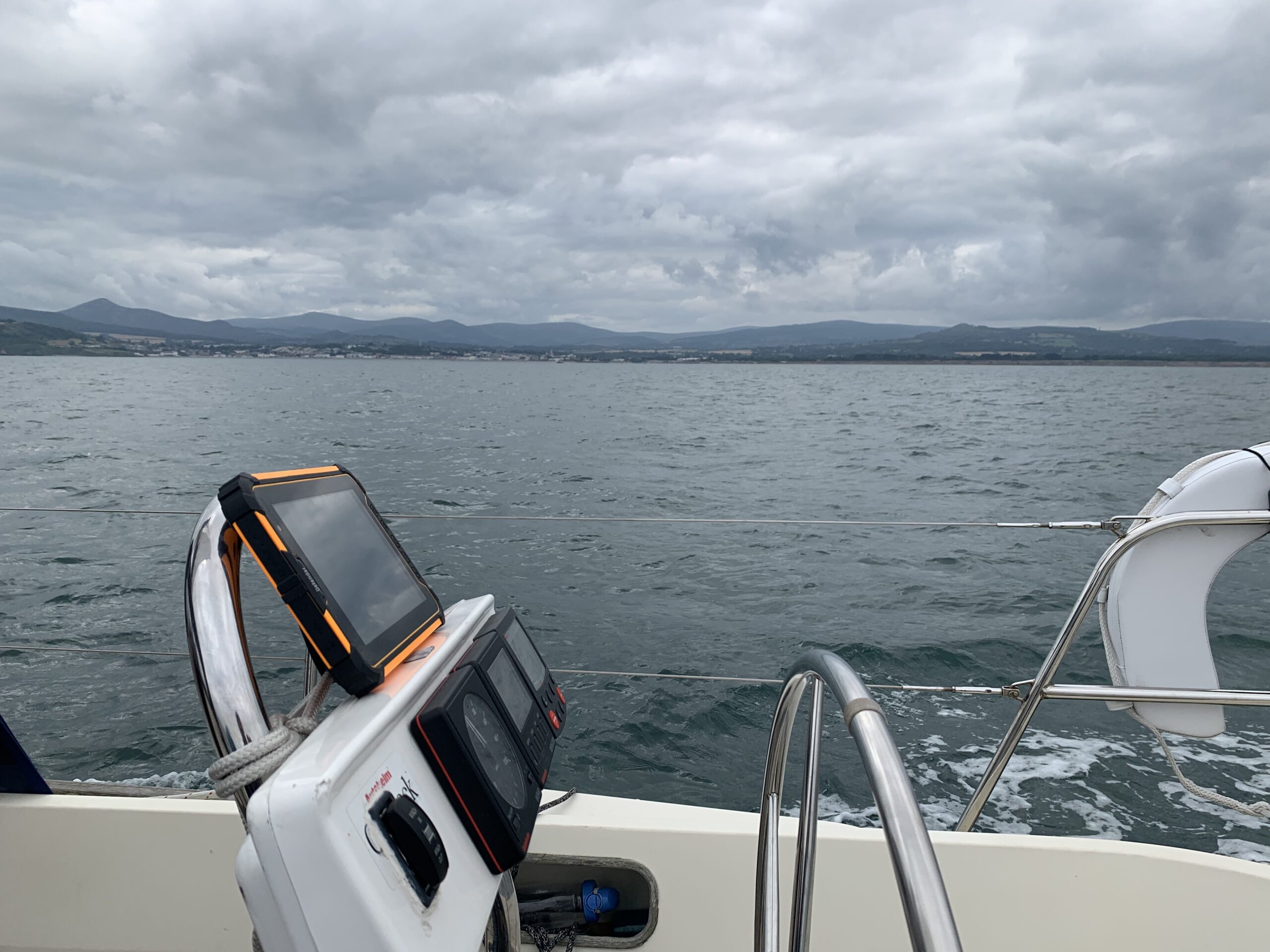
New nav tablet 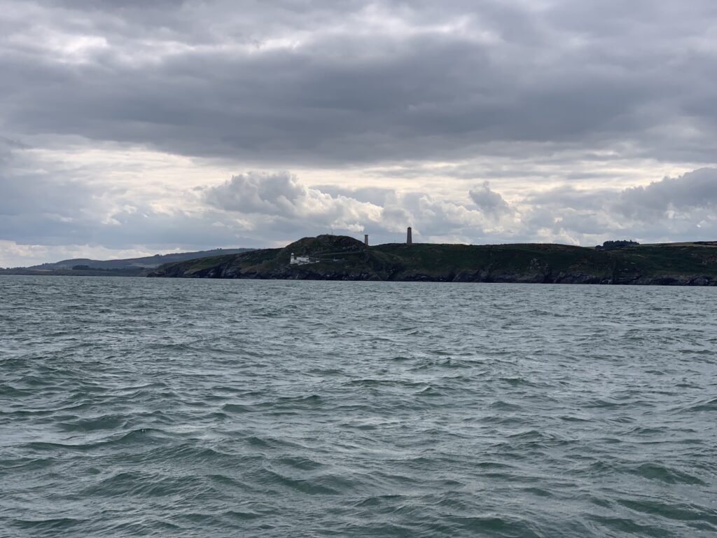
Wicklow Head
Winds were light to moderate the whole way down; perhaps 15 knots at the masthead with the boat doing 7 knots over ground with the tide (GPS data records a peak of 8.1 knots).
Alas, the late departure caught up with us as we neared Arklow. The tide turns earlier than the low/high tide times on Ireland’s east coast, and we faced a 1.5 knot tidal stream as we were about 10 nm away from Arklow. This slowed our over ground speed to about 5 knots, sometimes dipping into high 4s. To ease the impact on K, I brought us closer in as we approached Arklow, in the vain hope that the sea would moderate, as would the boat motion. Well, not so vain – it worked, just not as well as I wanted.
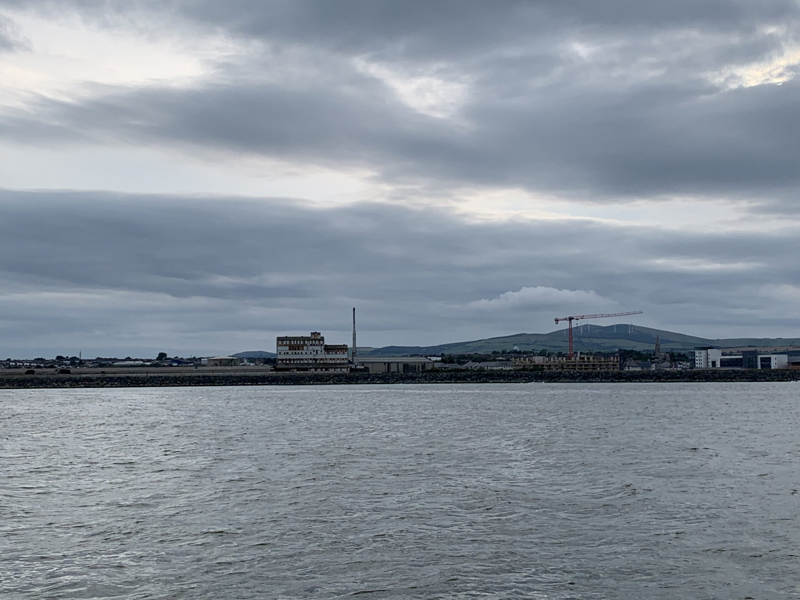
Arklow’s entrance is pretty hard to see with the naked eye. I had a vague sense of where it was, but it took a twin-hull fishing boat flying in to port for me to confirm the entrance. A little bit of cross-mouth flow was present, but nothing too bad.
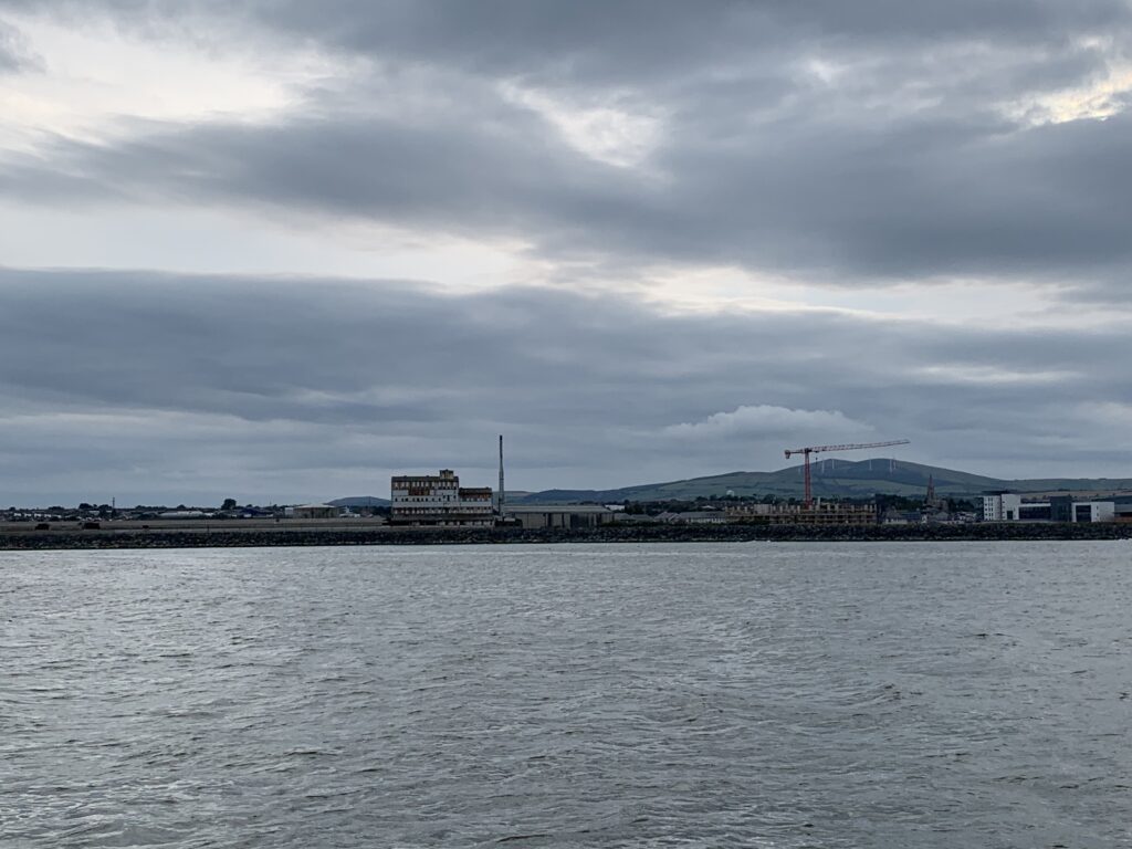
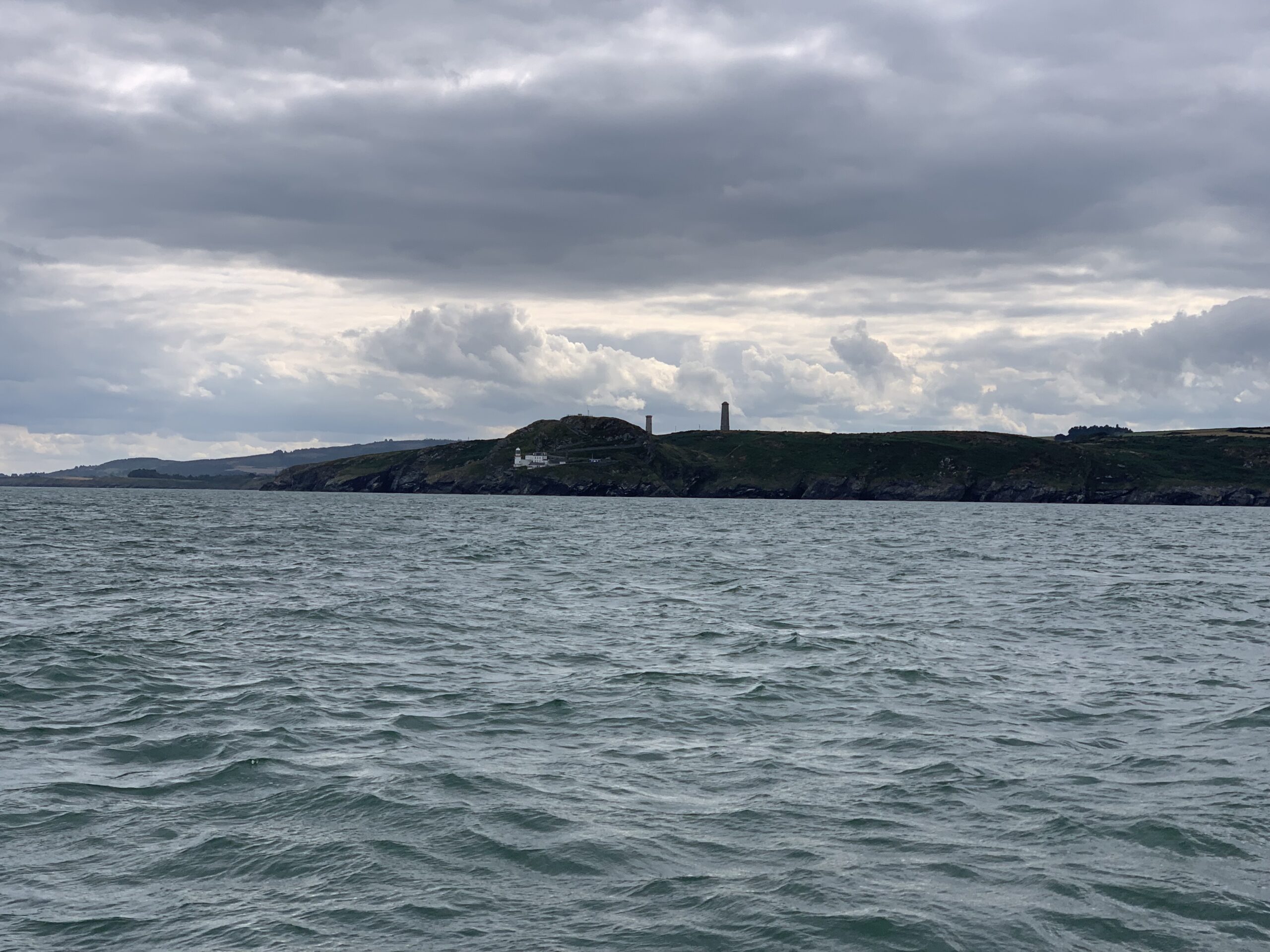
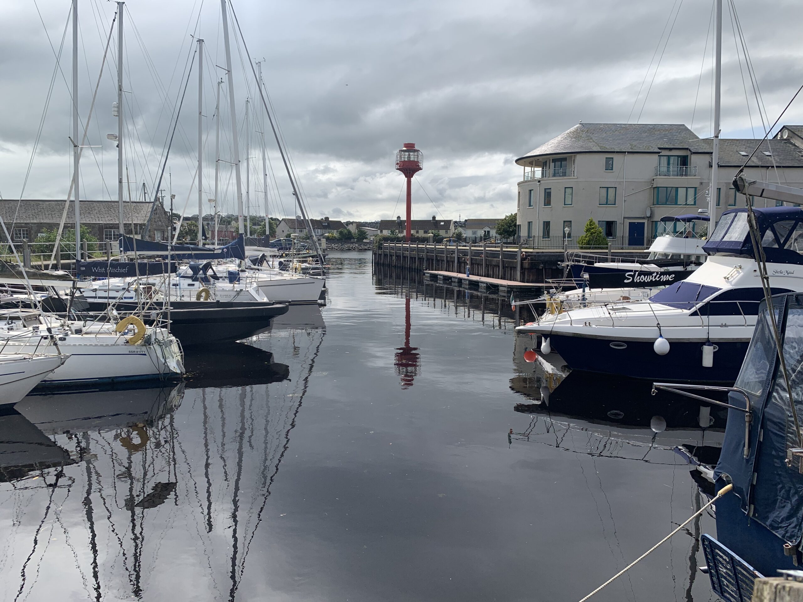
There’s a harbour entrance in there somewhere 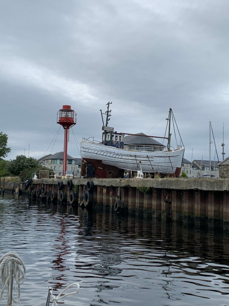
The marker for the north marina entrance 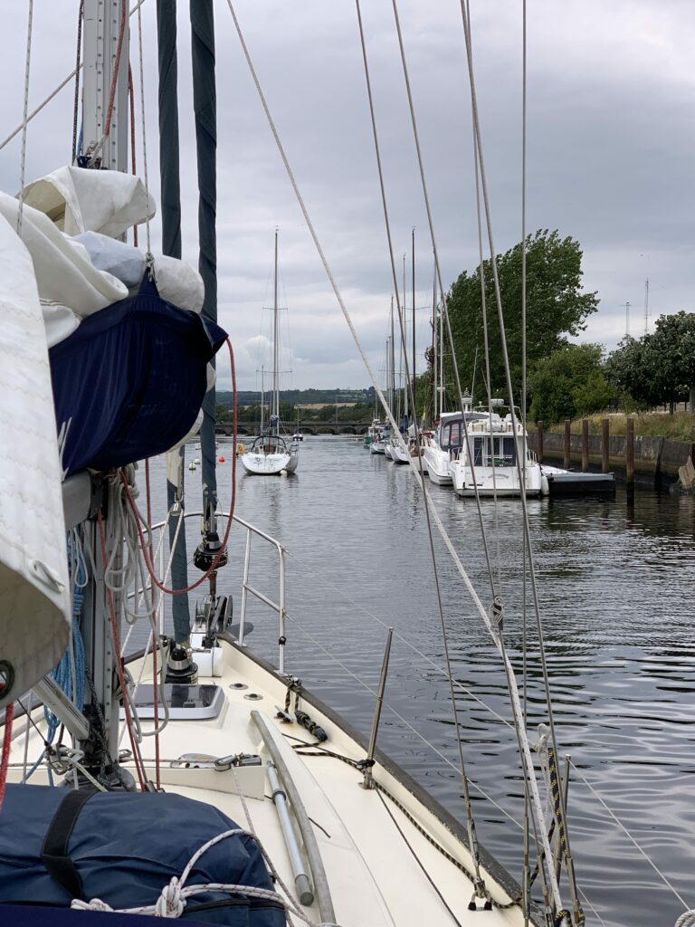
A slightly narrow gap to get to the river pontoon
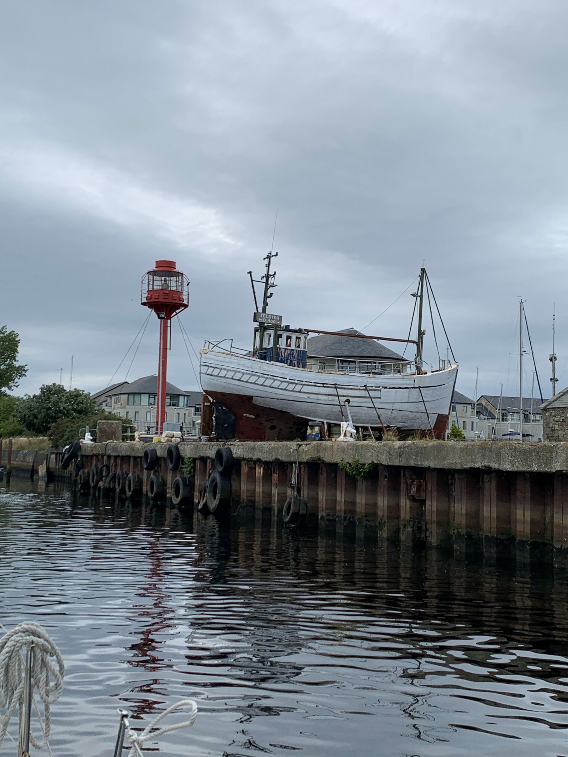

Arklow has 2 basins and a long pontoon in the river. The port basin on approach is where the fishing vessels live, so not a preferred basin just for the smell. However, a reasonably wide entrance. The starboard (north) basin is the marina basin, and is found just by the tall red lightship bit that’s on land. The entrance is very narrow all things considered, and when we walked around it later on, we found that getting Blue Opal in and on to a berth would have been interesting, to say the least, with a tired crew (I had helmed the entire trip from the Muglins to when we were safely alongside in Arklow).
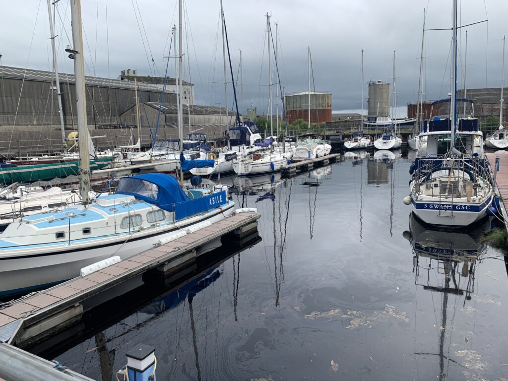
North marina in Arklow 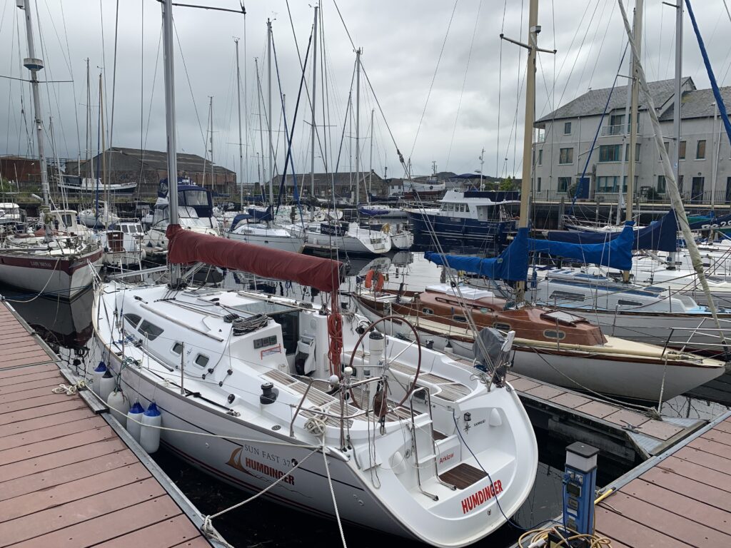
North marina in Arklow 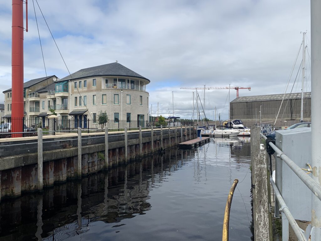
Entrance to north marina in Arklow 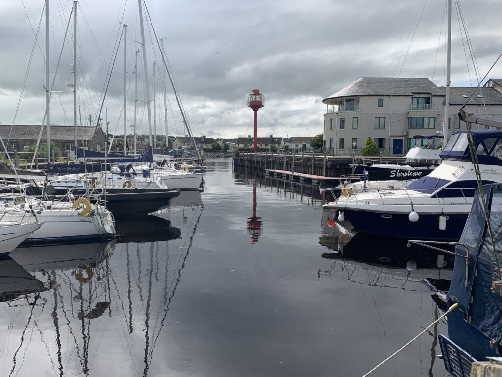
North marina in Arklow

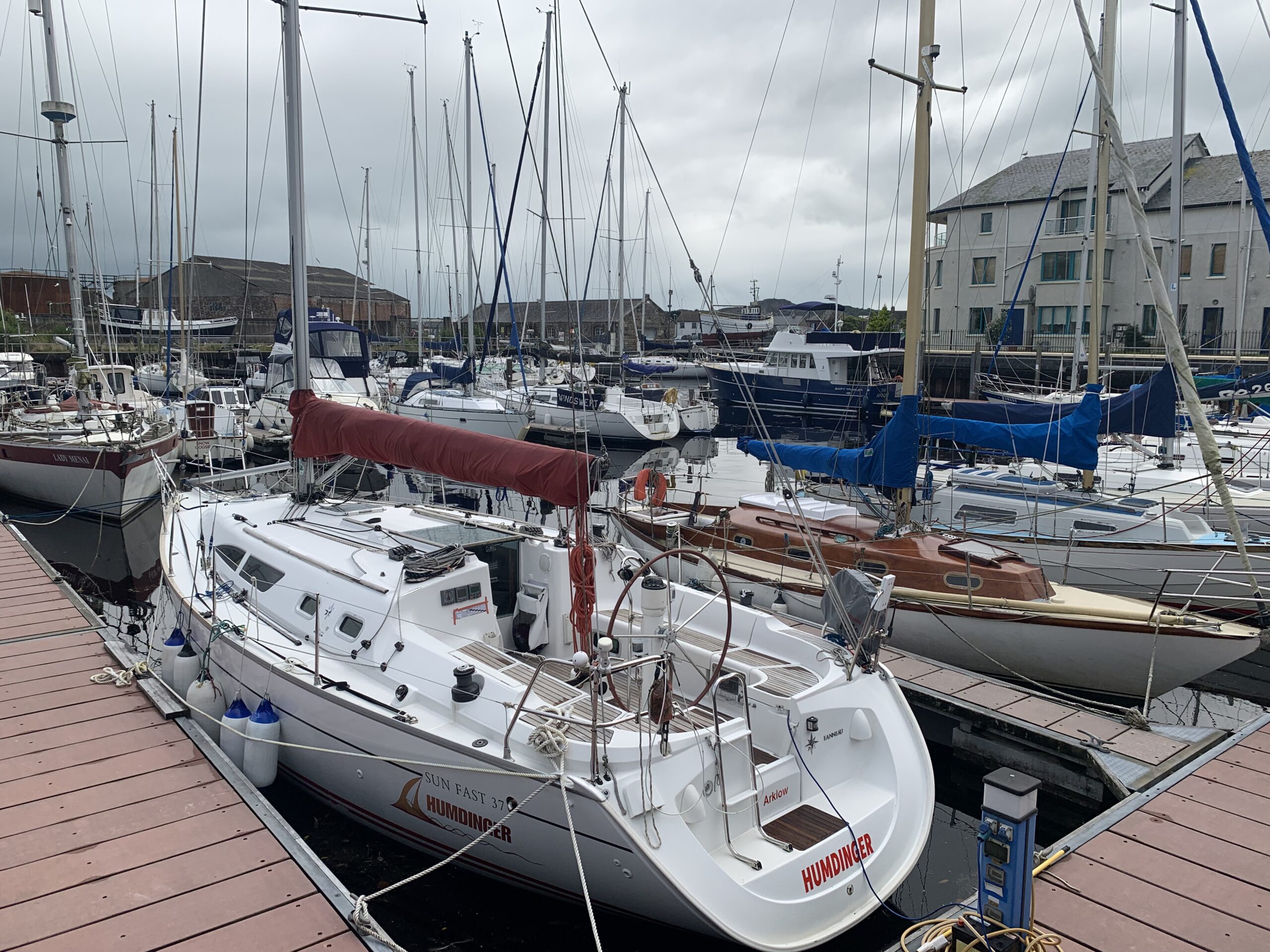

The river pontoon is by far the easiest to moor against, though it did not help that there was a fat motor cruiser on the end of the pontoon. I think I had about 1.5 metres on either beam as I passed between the motor cruiser and the yacht moored on the fore/aft in the river. We made fast on the pontoon with 0.1 metres under the keel; thankfully the tides are headed to neaps so I don’t have to worry about going aground!
Light dinner, and lights out!
Average speed: 6.59 knots
Total time: 05:43:41