We’ve made it to the south coast! Only two days after we planned to be here, due to weather conditions. Up at 0600, leaving K to snooze some more; up anchor and motored over to South Bay to drop the hook again in calmer waters and get a few more hours of sleep. Chatted with Rosslare Harbour to make sure I was out of their way, which I was.
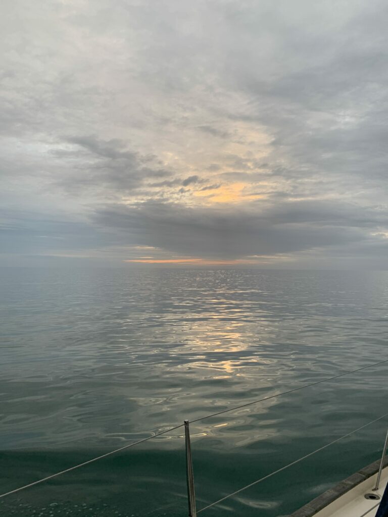
Early morning light 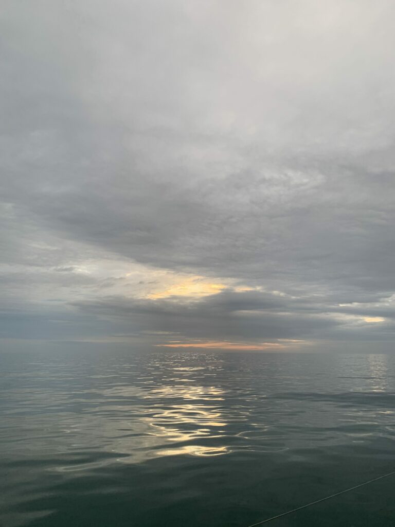
Early morning light
After a few hours more sleep (so now up to about 6 total since waking up the day before), we both got up and sourced some late breakfast / early lunch in the form of reheated chilli and some rice. South Bay was much calmer than North Bay – a benefit of being “behind” the Rosslare Harbour wall. It’s a surprisingly small port, considering it’s a major ferry link to the UK and the continent (more so since Brexit).
What was also surprising was how small one of the coastal bulk carriers was in comparison to a truck ferry – the bulk carrier was positively dwarfed by a Sea Truck vessel.
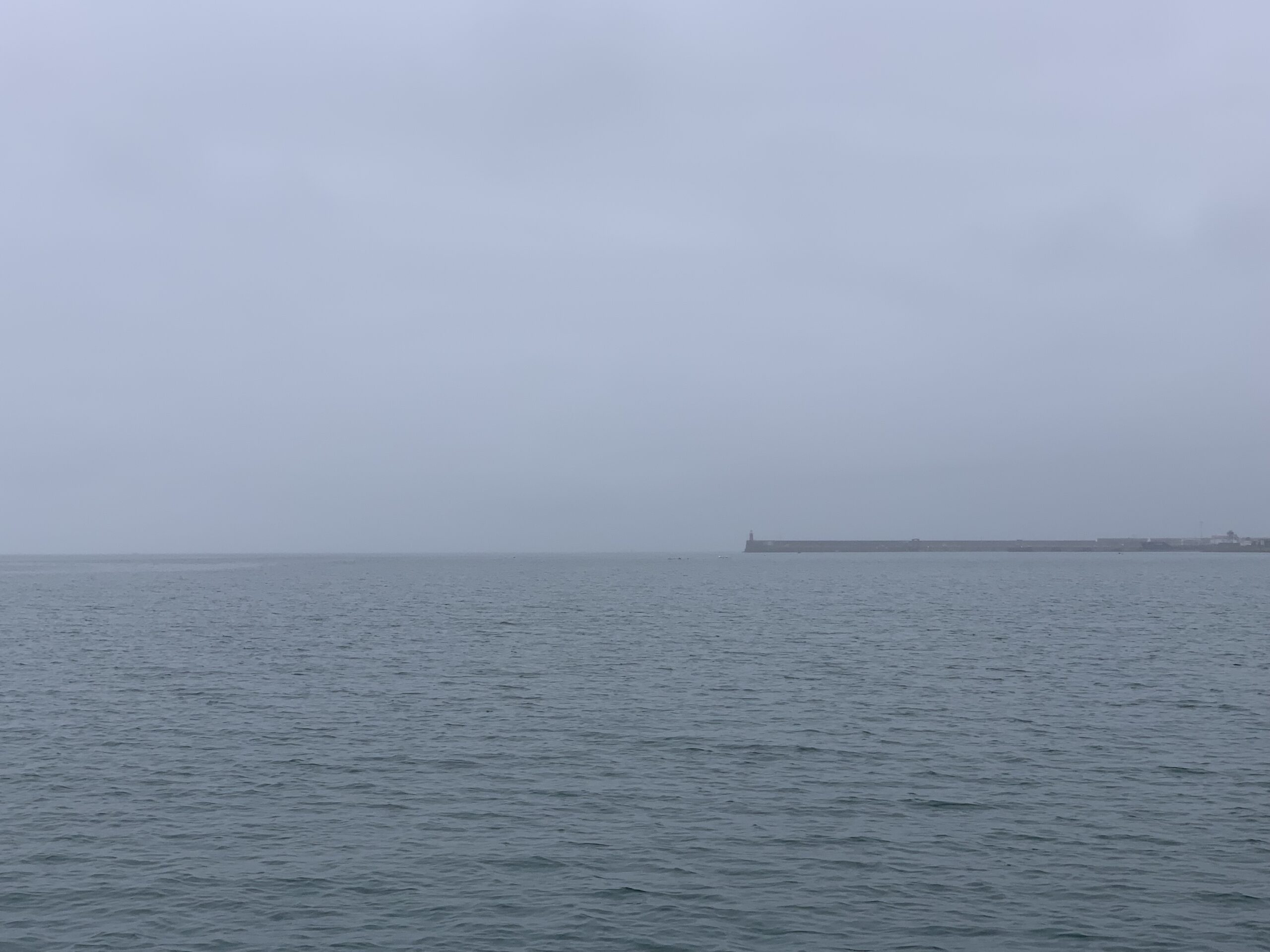
Hailed the Harbour again at around 1300, and checked ship movements and told them my intended use of the shipping channel – all approved. We left at 1330, destination Kilmore Quay (archive). Winds were about 10 knots out of the east, so head to wind for the first two channel marks, and then a turn south at Splaugh mark to start going around the corner. A bright and sunny day it was not, with rain and mist bringing visibility down to 1 mile as we left.
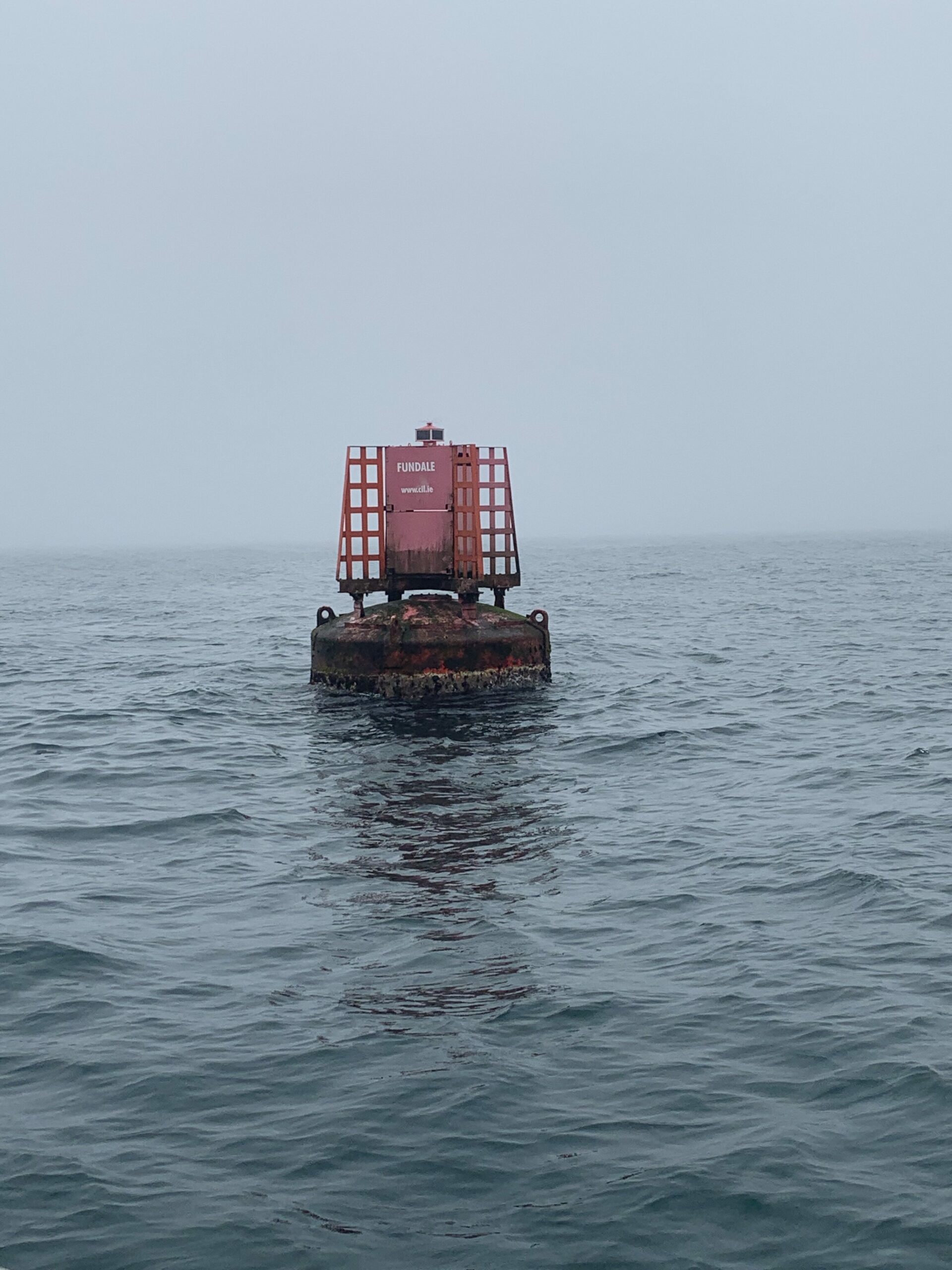
Somewhere after the Fundale Buoy, visibility dropped to about 200 metres, and a bit further on it dropped to 50 metres. Slowed down at that point, so I’d have time to react to the various fish pot marks that litter the area; missed one by about a metre because I was looking in the other direction! Even with head on a swivel, it’s easy enough to not sight one when visibility is only a few boat lengths.
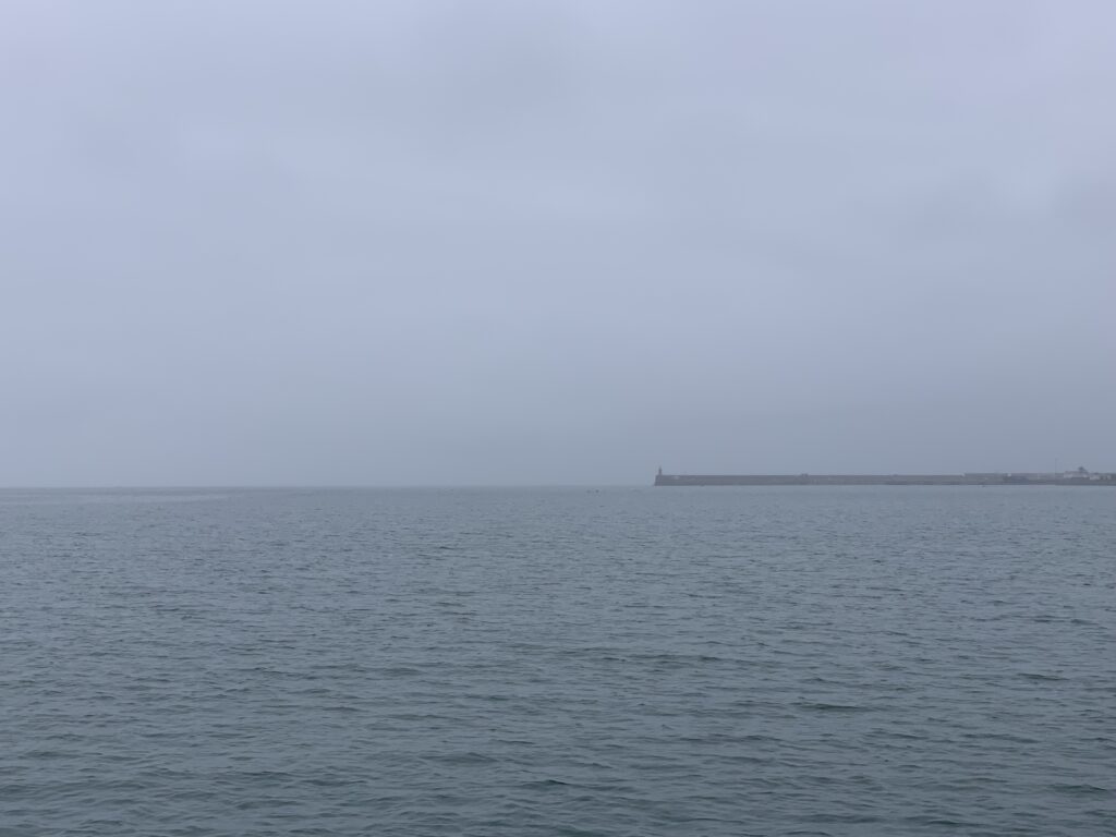
The visibility at Rosslare 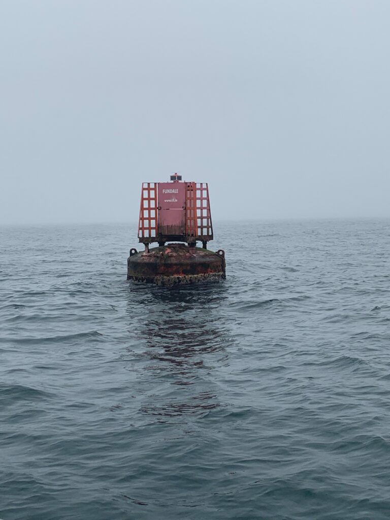
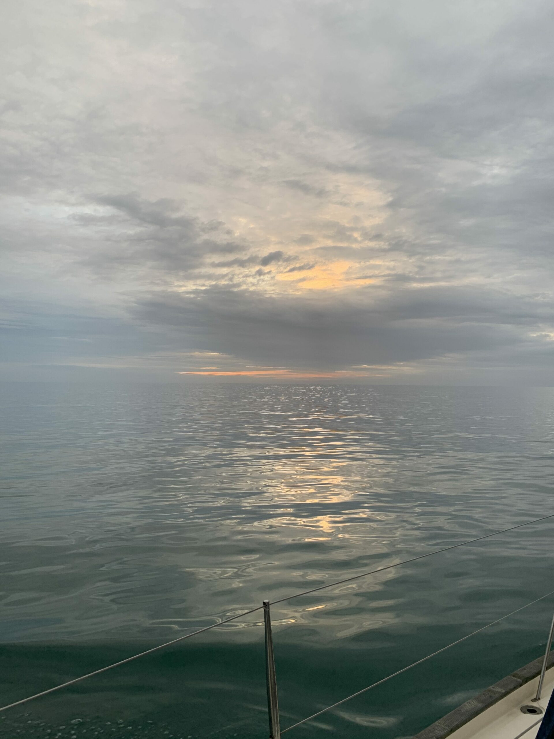
The Fundale buoy, and visibility 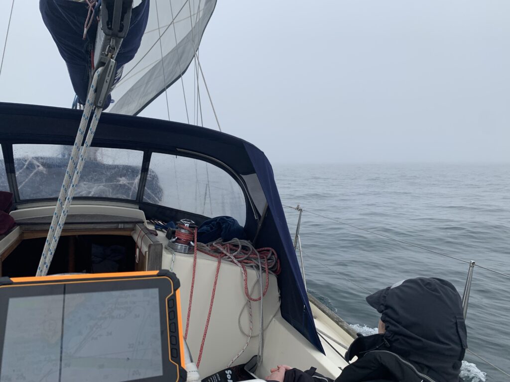
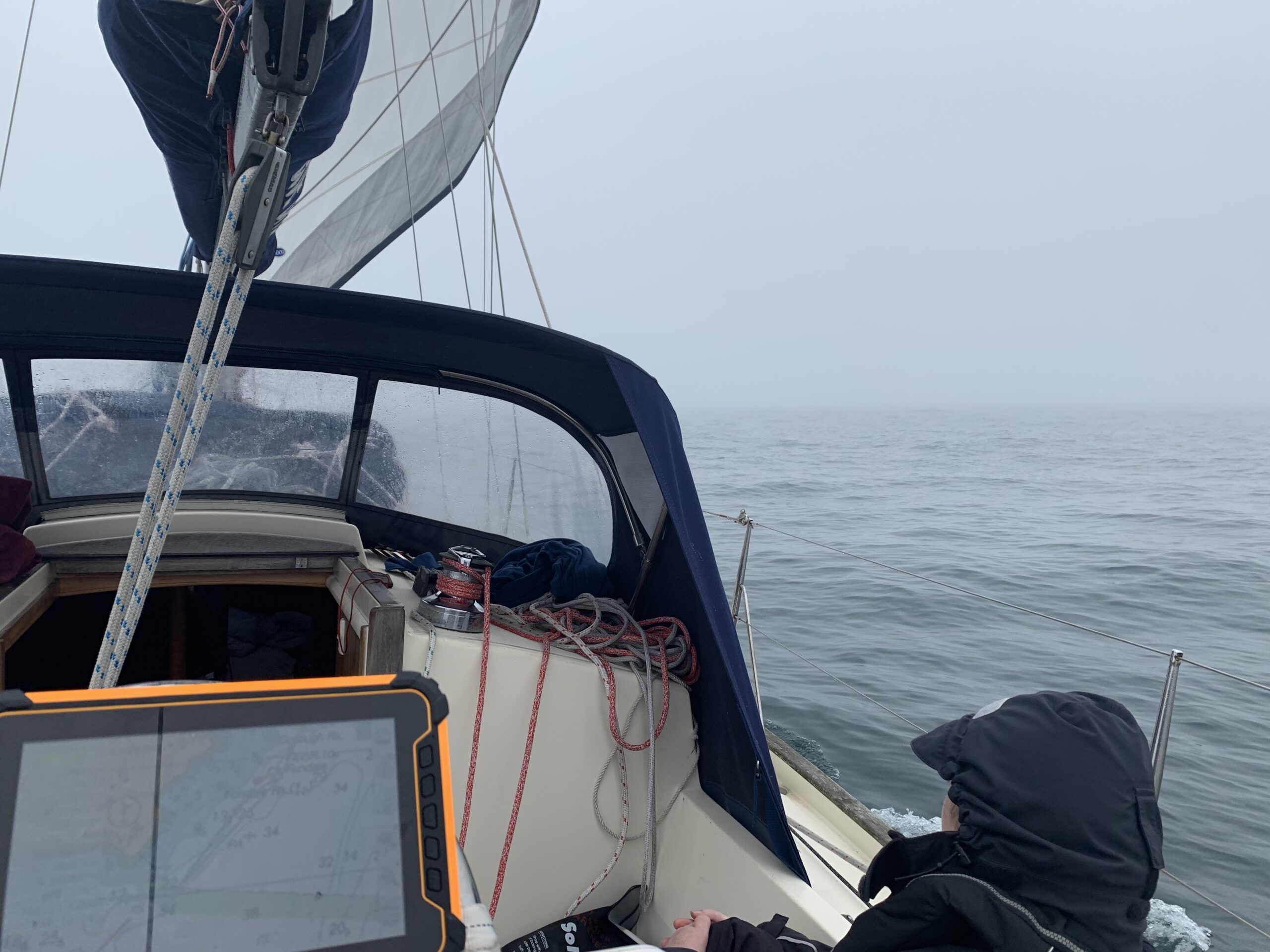
Poor visibility as we went south 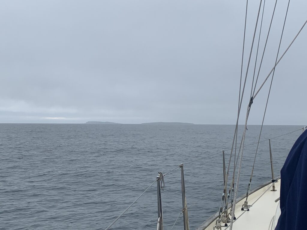
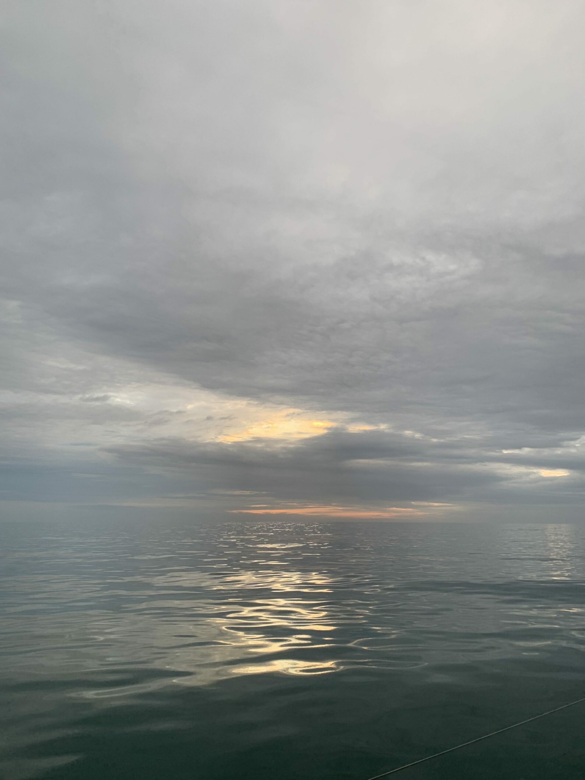
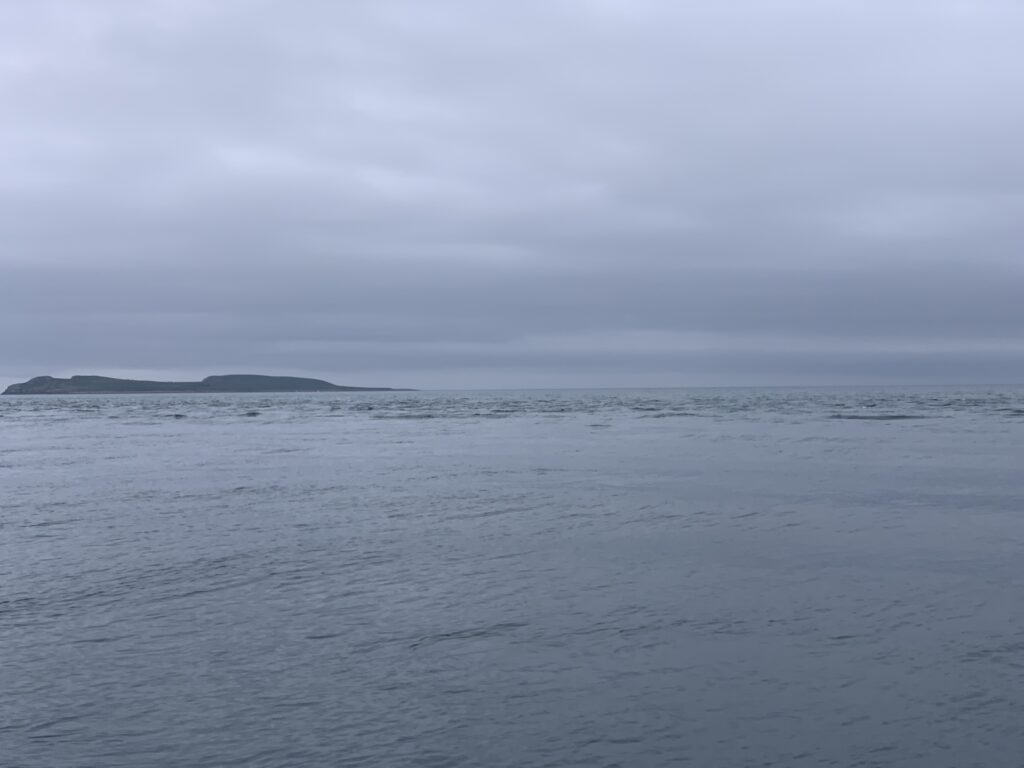
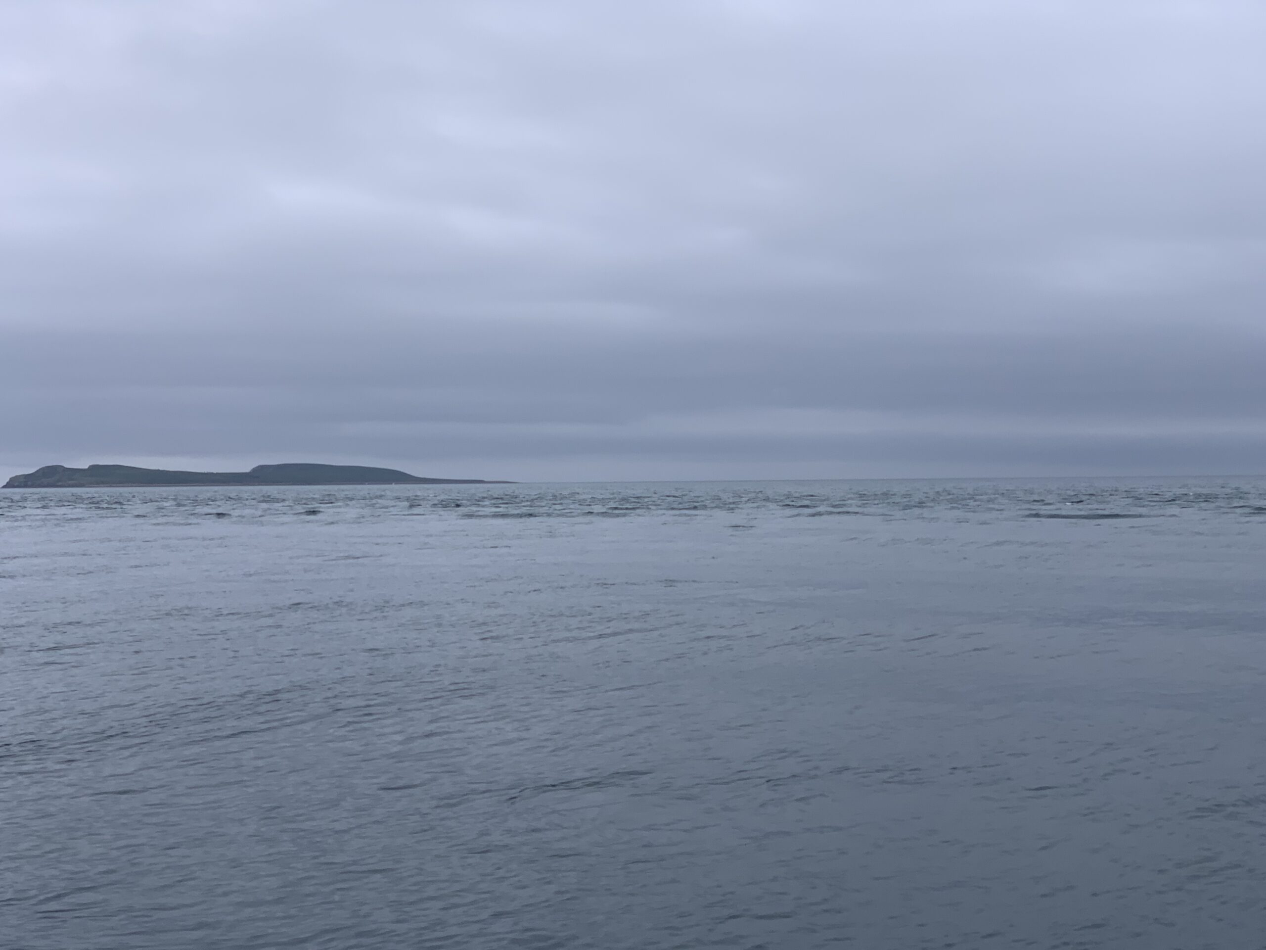
Visibility got better as we went along the south coast – both Saltees visible

We motor-sailed around the corner of Ireland, doing about 5 knots over ground with the engine making turns for about 4 knots – nice to get a boost from the tide as planned, for once.
Called Kilmore Quay once we were past Terchen Rock, and got asked to call again at the safe water mark. Motored onwards, with the main acting as a ballast against the southerly swells. The crossing at St. Patrick’s Bridge is interesting, and if I didn’t know the charted depths, I probably would have turned around when I saw the race of water – a thin, dark line running from mainland to Lesser Saltee, with disturbed water behind it; enough to make you think that perhaps it was only a metre deep. Went over with 3.5 metres under the keel.
Kilmore Quay is definitely a port where you read all the pilot guides, and follow the leading lines. Failure to do so will have you on a rock faster than you can say “rock”, and failure to make a hard turn to port into the harbour entry will have you aground on the beach about 15 seconds later – fine if you’re a bilge-keel, but not so fine if you’re a fin keel. There was a good current ripping across St. Patrick’s Bridge, requiring a crabbing approach against the current to keep the transit marks lined up.
The race at the bridge 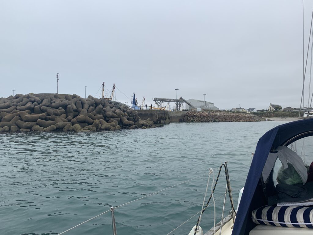
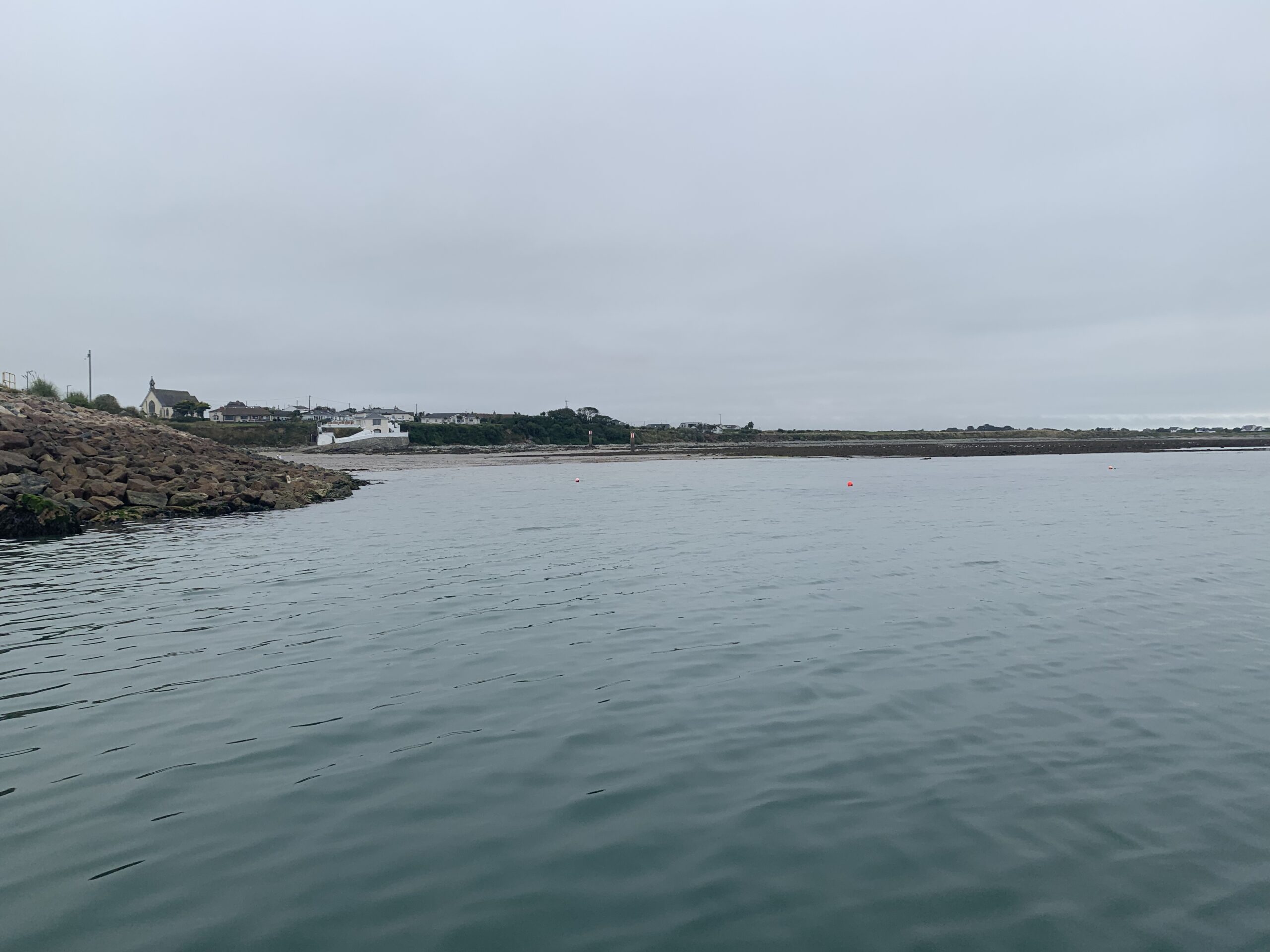
Harbour entrance from the approach 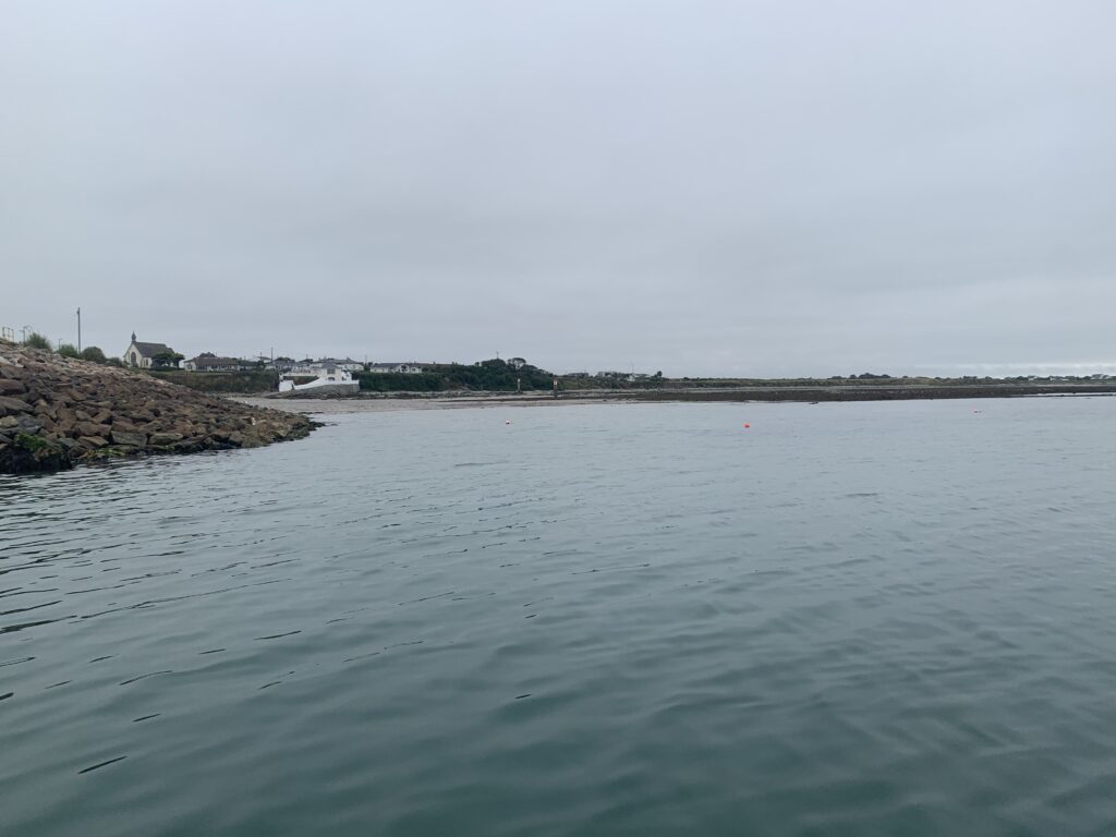
Go past the entrance, go aground 
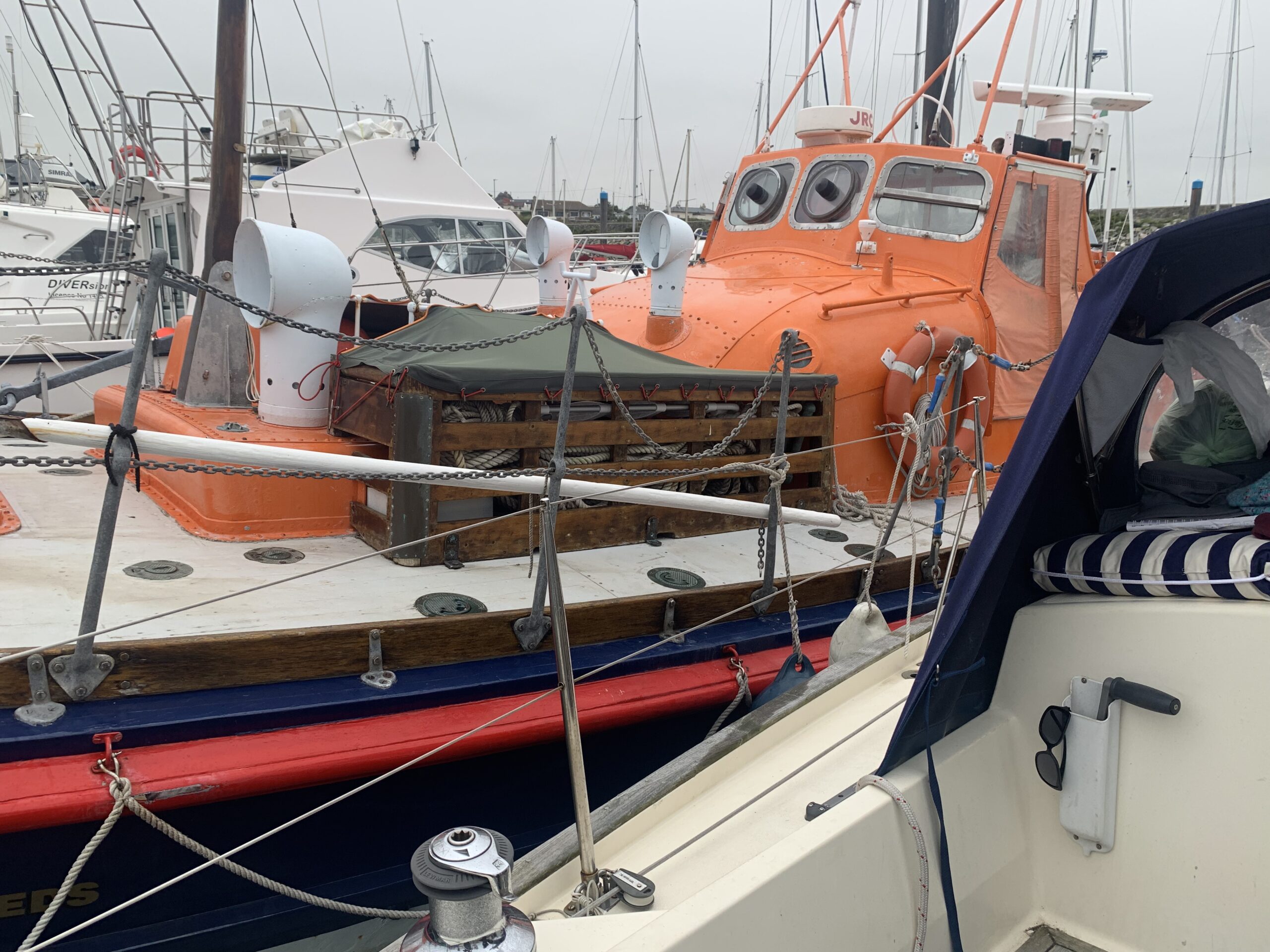
Our berth for the duration of our stay

A large fishing boat was moored right against the harbour wall in the entrance, making it a bit tighter than might be preferred, but the harbour speed limit is 3 knots, so plenty of time to react and dodge.
We moored up on a hammer head, tied to an older RNLB. Fore, aft, two springs – we won’t be going anywhere until Tuesday probably – need to visit the local marine store for some anchor bits, and I need to replace the hose for tanking water (as black and green slimy bits came out of it in Arklow). Oh, and maybe a spare VHF handheld. Then K and I need to decide if we’re going to try and make Glandore and hop back up day by day, or keep our aim on Crosshaven/Cork/Waterford and surrounds.
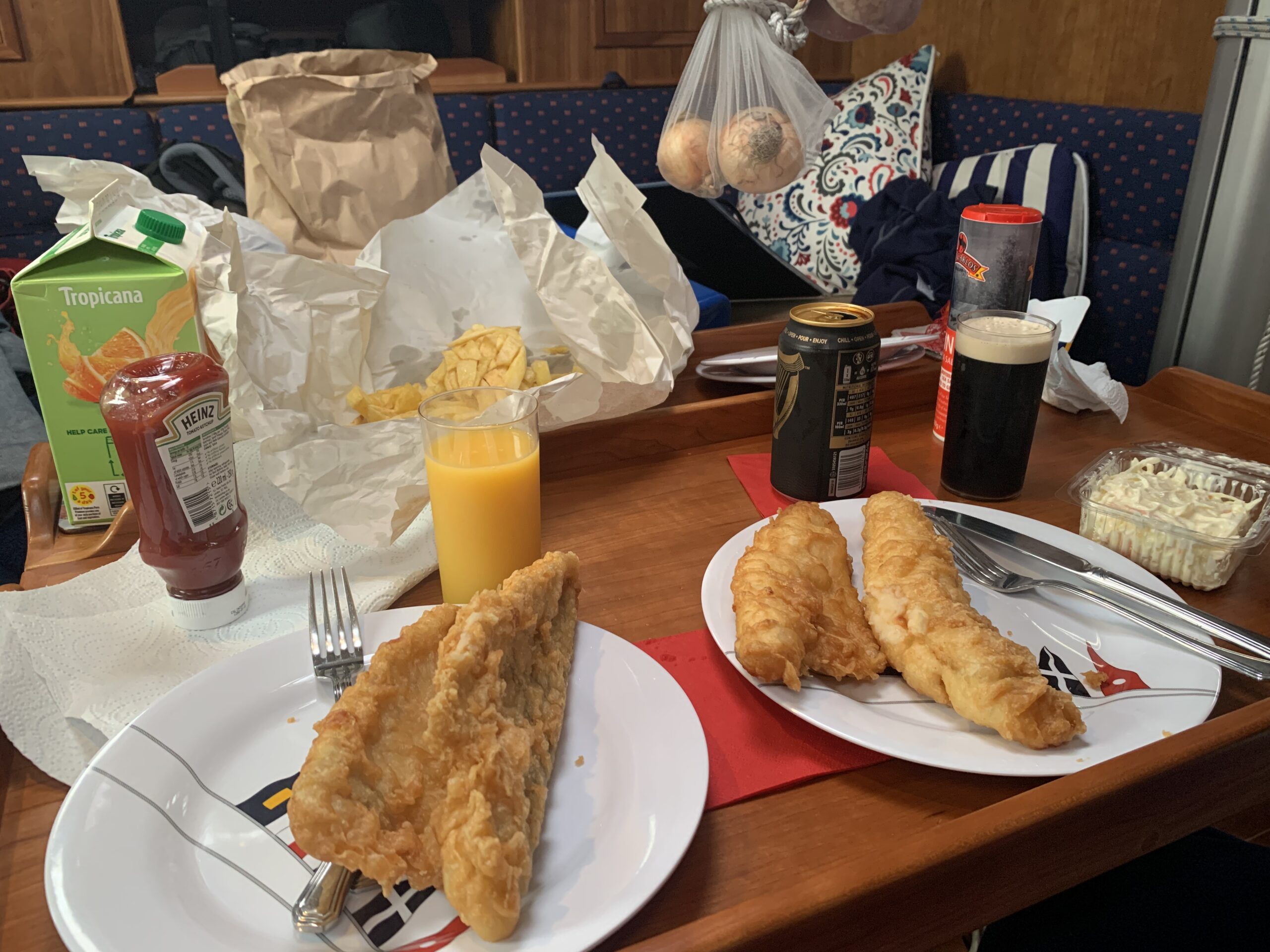
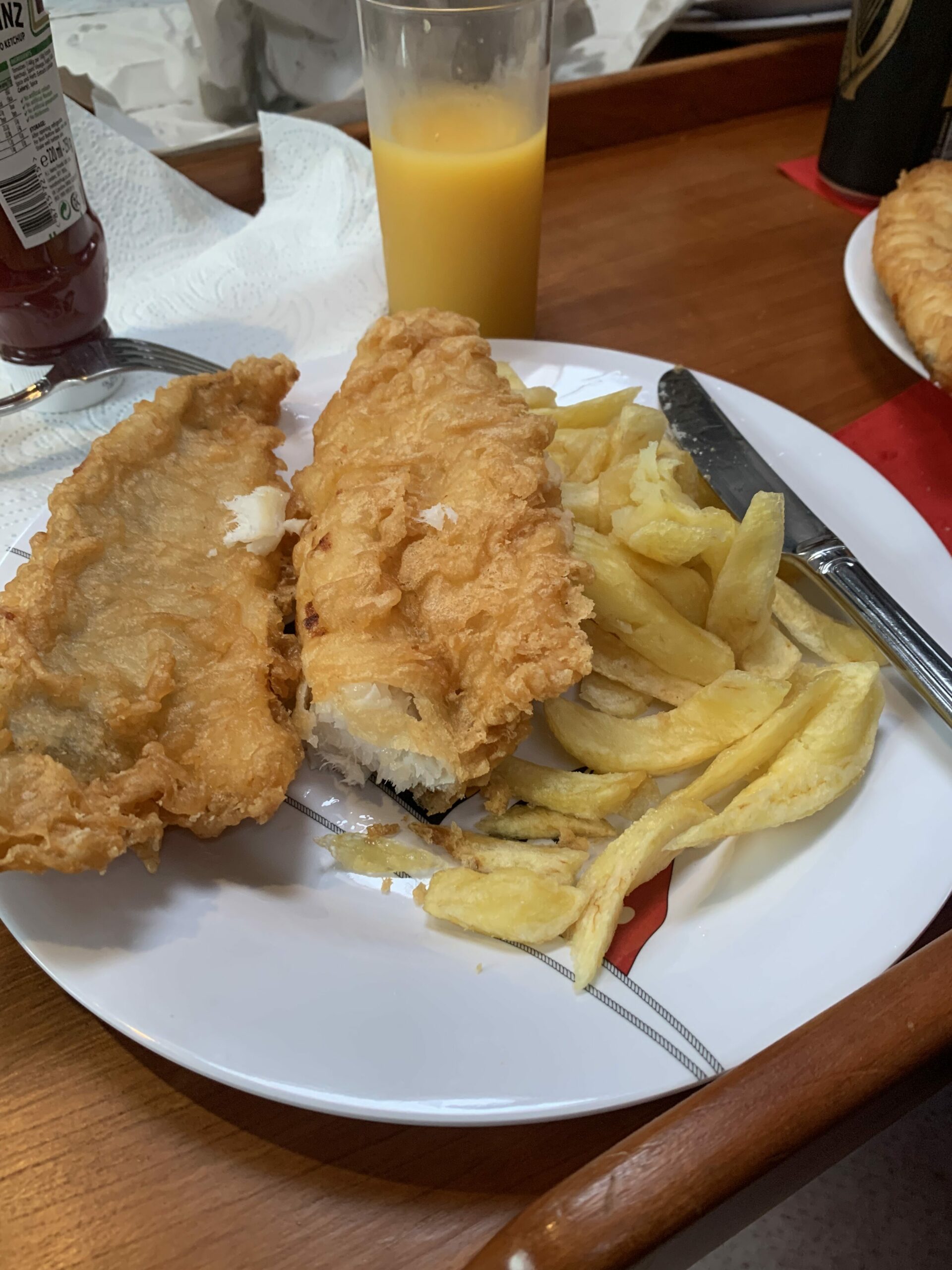
Fish and chips for dinner, from the Saltee Chipper. Reputedly the best in Ireland.

Orange juice for me, Guinness for K 
Lovely light batter
Good night.
Average speed: 5.46 knots
Total time: 03:13:23